
Redding Neighbor Records by Block
A block lookup starts with a parcel, not a name list. Each Redding source answers a narrower question. GIS shows geometry and adjacent APNs. The assessor connects a selected parcel to current roll fields. Permits explain work at an address. Reverse directories and census schedules supply historical households. Voter information follows a separate privacy rule and cannot be used as a general block roster.
| Source | What It Shows About a Block | Access |
|---|---|---|
| Shasta County GIS parcel layer | Parcel polygons, APNs, and nearby parcels | Free map and REST metadata |
| Redding City Property Lookup | Address or APN report and owner mailing fields | Free viewer and report |
| Shasta Assessor Public Inquiry | Owner, situs, values, exemptions, and mailing data | Query or counter; online limits apply |
| Shasta eTRAKiT Property Search | Parcel, owner, legal description, building, and inspection tabs | Search by address or APN |
| Redding permit history and JustFOIA | Construction, change, and city-held address records | Portal or focused request |
| California My Voter Status | A user's own status, location, and ballot information | Authenticated self-lookup |
| Redding Library directories and census leads | Past occupants and neighboring households | Library, NARA, or FamilySearch |
| Voluntary neighborhood contacts | Public officers, mailboxes, or meeting details | Only when voluntarily posted |
Read the sources as layers. A parcel record can identify an owner or tax-mailing address, but it does not list every person who sleeps there. A permit names an applicant or contractor, not necessarily a resident. Historical sources can put a household on a block at a past date without proving that it remains there.
Map Redding Neighbors Through Shasta GIS
The Shasta County GIS Map is linked from the Assessor-Recorder Kiosk. Its parcel service uses polygon geometry, an APN label or attribute, and map controls for selecting nearby parcels. Redding City Property Lookup adds an address-or-APN report with owner mailing fields and local overlays. Use both as parcel tools, then open the official record for each APN rather than treating the map as a name directory.
| Control | Shasta GIS | Redding City Property Lookup |
|---|---|---|
| Starting search | Address geocoder or APN text | Search by Address or APN |
| Layers and selection | Layer list, map click, parcel identify | Attribute Table and available overlays |
| Movement | Zoom and pan along both sides of a block | Zoom, extent, Full Screen, and Share |
| Other tools | Measure when enabled | Coordinate, Measurement, Draw, Basemap Gallery, and Share |
| Report result | Parcel attributes and APN | Generate Report after address or APN search |
Move from the subject address outward in a fixed order:
- Search the address in Shasta GIS or City Property Lookup, select the subject polygon, and record its APN and legal or subdivision context.
- Click each contiguous polygon, then pan along both sides of the block. Record every APN separately.
- Open assessor information for each parcel and keep owner, mailing, and situs fields in separate notes.
- Use eTRAKiT for permit context, then stop at the block boundary. The full named-street chain belongs in the Redding street directory.
Redding Neighbor Lookup and the APN Join
The useful Redding GIS quirk is easy to miss. APN is the parcel layer’s display and key field. Situs information is joined by APN, rather than being a guaranteed native attribute of every geometry record. Match the same APN across GIS, the assessor, permits, and recorded documents. A street label alone is a weaker key, especially when a subdivision, annexation, road rename, rural-route change, or emergency-address change interrupts text searches.
- APN
- The assessor parcel number that joins the tax and GIS record to a piece of land.
- Situs
- The physical taxable location, which may differ from the address used for tax mail.
- Legal description
- The lot, block, subdivision, or metes-and-bounds wording that identifies land beyond postal phrasing.
A map line is not a boundary survey. For a disputed edge, use the legal description and the county’s recorded instruments, not a visual guess from the screen.
Redding Neighbors: Situs, Mailing, and Owner
Shasta’s assessment roll separates the place being taxed from the place where the owner receives notices. Situs is the parcel’s physical location. The owner mailing address may be elsewhere. A match between the two can support owner occupancy, especially when a homeowner exemption appears, but it does not prove that all occupants are owners or that a household has no other members.
Shasta’s public interface also warns that owner-name information is restricted online under California Government Code §6254.21. Start with a situs address or APN and use the counter or documented assessor channel when the online view does not expose a needed field. Treat an absentee mailing address, trust address, manager address, or outdated address as a clue about the record, not a finding about where a person lives.
Redding Neighbor Records and Permit History
Shasta eTRAKiT’s property search accepts APN # or ADDRESS. Its operator choices are Equals, At Least, At Most, Begins With, and Contains, followed by a Search Value. Result tabs include Parcel Info, Owner Info, Restriction Details, Land Use, Building, Legal Desc, and Inspections. The same system reaches permits, projects, contractors, scheduled inspections, violations, and CRM issues, but its disclaimer says the data may not be current or accurate.
Redding’s public-records page links permit history and JustFOIA, where a focused address, parcel, record type, and date range can be requested. The City moved all building permits to EnerGov Self Service in 2026. Construction, additions, fire rebuilding, and changes of use can explain why a block record changes. An applicant or contractor is not automatically a resident, so pair permit dates with parcel and historical household evidence.
Historical Redding Neighbors by Street
Reverse directories can turn a block into a past household map. Redding Library’s public pages do not verify a local city-directory publisher, year run, or reverse-directory span. Search the catalog item by item and confirm holdings with the reference desk at (530) 245-7252. When a volume is available, read its reverse section by street and house number, then copy the occupant entry and its abbreviation key exactly.
Pair that street reading with the federal census, whose newest public population schedule is 1950 under the 72-year rule. Library newspaper microfilm runs from 1852 to the present; NewsBank adds searchable Record Searchlight text from March 10, 1991 to current. Deeds, obituaries, probate, and Sanborn maps can bridge a missing year, but a map shows a structure and street-number context, not who lived inside it.
California Voter Rules for Redding Neighbors
California My Voter Status is an authenticated self-lookup, not a public Redding neighbor finder. It asks for first name, last name, full date of birth, and either a California driver license or ID number or the last four numbers of a Social Security number. Results can show a user’s registration status and location, party and language preference, polling place, upcoming elections, and vote-by-mail or provisional-ballot status. A newly registered online voter should wait at least 24 hours.
| Voter field | Format | Block-lookup limit |
|---|---|---|
| First and last name | Required text | Exact identity inputs, not a browse list |
| Date of birth | Required month/day/year | Authentication data |
| California ID or last four SSN | Conditional identifier | Private credential, not a public field |
| Registration result | Status, location, party, language, polling place, ballot status | Returned to the authenticated user |
Government Code §7924.000 keeps home street address, phone, email, precinct or identification numbers, prior registration, identifiers, and signatures confidential except as Elections Code §2194 permits. The Secretary of State offers a voter file only to qualified applicants for approved election, political, scholarly, journalistic, or governmental purposes. A statewide file is $100; a single-voter request can identify up to ten people at $30 per record, capped at $100 per application. Shasta County Elections is listed at (530) 225-5730. Voting history shows participation, never ballot choices. The California voter-registration privacy guidance explains the permitted-use and confidential-field boundaries.
Redding Neighborhood Contacts and Rosters
No authoritative current citywide inventory of Redding neighborhood associations with public member rosters was found. The City neighborhood page is a screenshot lead, not proof of a complete association list. Verify any contact with the organization itself. A voluntary public officer name, mailbox, or meeting notice may help someone reach a group, but it does not make membership information public.
| Local contact | Useful lead | Boundary |
|---|---|---|
| City neighborhood information | Geographic context and possible association leads | Not a verified citywide roster |
| Shasta Historical Society | Photos, family files, vertical files, manuscripts, and directory holdings | 1449 Market Street; (530) 243-3720; confirm services and fees |
| Redding Library genealogy area | Volunteers, local books, newspapers, microfilm, and affiliate access | Research help, not a member directory |
| Voluntary association contact | Public officer, mailbox, or meeting information | Only what the group chooses to publish |
Ask whether a public contact channel, boundary, or meeting notice is current. A careful inquiry seeks a way to reach the group, not a private list of members.
Redding Neighbor Sources: Official or Commercial
Official local records and commercial neighbor tools serve different roles. The first has a named custodian and a defined field set. The second compiles public and purchased data for convenience. Neither category should be treated as a complete household list.
| Question | Official local records | Commercial neighbor tools |
|---|---|---|
| Best starting use | Parcel, owner mailing, permit, and historical research | Broad lead generation |
| Strength | Known custodian, field meaning, and source context | Convenience across many data sets |
| Common gap | No renters, children, relationships, utilities, or protected participants | Stale records, merged names, paid access, and accuracy disclaimers |
| How to verify | Return to the county, City, court, library, or archive holding the record | Use only as a lead and confirm independently |
When a name or address matters, return to the custodian that created the record and note the record date. That extra step separates a parcel fact from an untested people-search match.
Redding Neighbor Lookup Stops at Private Data
Parcel GIS does not supply renters, children, household relationships, utility customers, delivery records, or protected participants. Safe at Home gives eligible survivors and protected participants a substitute mailing address. It does not erase existing internet or public information, but agencies and courts must accept the designated address, and participants may request its use in specified deed and property paperwork under Government Code §6209.5.
California privacy rights can include access, deletion, correction, limits on certain sensitive-data uses, and opting out of sale or sharing for covered business data. The Delete Act also creates a state deletion mechanism for registered data brokers. Those rights do not turn a private household layer into a public parcel roster.
The California Privacy Protection Agency’s official consumer-rights resources provide the right starting point for privacy and data-broker questions.
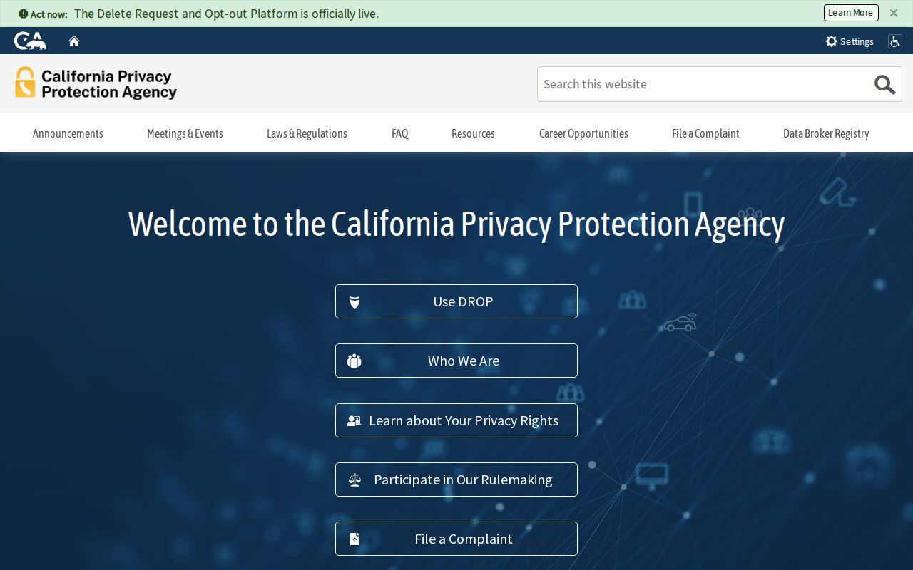
Privacy guidance belongs beside the parcel workflow because a public owner field never grants access to private household facts.
Lawful use. Redding neighbor records are suitable for personal, lawful research, reconnecting, and ordinary block awareness. Public availability does not permit stalking, threats, harassment, impersonation, or publishing information to facilitate harm.