
Redding ZIP Code Directory Coverage
Five ZIP entries matter most when a Redding search starts with a postal line. The table stays at the level supported by local research. USPS city names route mail, but Assessor situs and the GIS parcel layer decide where a property sits. The post-office column directs current USPS verification instead of naming an unconfirmed station.
| ZIP Code | Areas Covered | Post Office | Notes |
|---|---|---|---|
| 96001 | Central, west, and southwest Redding, plus nearby western areas | Verify station and address in USPS lookup | May include city and county-address areas; use parcel GIS for limits |
| 96002 | Southeast Redding and the Enterprise area | Verify address in USPS lookup | Mainly street delivery; jurisdiction varies near edges |
| 96003 | North and northeast Redding, plus surrounding areas | Verify address in USPS lookup | Broad area extending beyond the compact city core |
| 96049 | Redding post-office-box use | Verify PO-box routing in USPS lookup | PO-box-oriented; not a geographic residence polygon |
| 96099 | Redding unique or organizational postal use | Verify recipient and address in USPS lookup | Unique ZIP; do not infer a neighborhood from it |
These are postal functions, not five legal slices of the city. The western and eastern descriptions are starting clues; “nearby,” “surrounding,” and “edge” require a parcel check. The research did not locate an authoritative USPS neighborhood-boundary table or verify current station names for 96049 and 96099. A trustworthy Redding ZIP code directory should state that limit.
Redding Postal Roles Beyond Neighborhood Maps
96049 and 96099 need different handling from street-delivery ZIPs. The research describes 96049 as PO-box-oriented. A box address tells where mail is received, not a residential polygon. Treating it as a neighborhood can send a parcel search to the wrong place or make a mailing address look like a physical situs.
Research describes 96099 as a unique ZIP for organizational or special postal use. It is not evidence of a residential area, block, or adjoining parcels. Validate the complete address in USPS, then choose the record system: GIS and APN for property, or deeds, directories, newspapers, and the library for history. The ZIP is a routing clue, not the answer.
How a Redding ZIP Code Search Narrows a Resident Record
A ZIP-keyed search should end with a custodian and jurisdiction, not an assumed list of residents. Start with the full address when possible. If you have only a name and ZIP, use it as a sorting clue and corroborate the person with another record.
- Validate the complete address in USPS. Check the street line, city, state, and ZIP together. Do not treat a typed “Redding” line as proof of the city boundary or the correct postal code.
- Open Redding GIS. Search the address in the City Property Lookup or the Shasta County map and select the parcel that matches the situs.
- Record the APN. The APN is the county tax and GIS join key. Keep it with the legal description and subdivision context as you move between systems.
- Compare situs and owner mailing ZIP. Situs is the physical taxable location. The owner mailing address is where tax notices go. A match can support an owner-occupancy clue, but a mismatch is not proof that an owner moved.
- Confirm jurisdiction. Check incorporated or unincorporated status, tax jurisdiction, service districts, and the office that holds the needed record. Only then should a ZIP result be treated as a useful lead.
Once a ZIP narrows the work to a street, the Redding street directory route is the next step for address-keyed records. A postal area cannot replace a parcel, street, or custodian.
Redding ZIP Code Search Limits in Assessor and Voter Data
Neither the assessor interface nor the voter system supplies a verified public export of everyone in a Redding ZIP. Shasta Assessor Public Inquiry documents searches by fee parcel, assessment number, boat certificate number, or aircraft tail number. Its evidence can include APN, situs, owner mailing address, values, exemptions, characteristics, and parcel history, but the research does not document a ZIP-wide resident filter. GIS is a parcel tool, not a people list.
| Redding GIS property lookup | Start with Address or APN. A report can return property address, APN, owner mailing city, state, and ZIP, along with land, structure, subdivision, zoning, district, and hazard context. The public schema omits the owner name. |
|---|---|
| Shasta Assessor inquiry | Use the Search By control for FEE PARCEL, ASSESSMENT, BOAT CF#, or AIRCRAFT TAIL#. The documented assessment value can be entered as a full 12-digit number or browsed progressively. |
| California My Voter Status | First name, last name, full date of birth, and a California driver license or ID number or last four SSN authenticate a user's own lookup. The result can show registration location, party preference, polling place, upcoming elections, and ballot status. |
| State voter-file request | Qualified applicants may request a statewide file for $100. A single-voter request can identify up to ten people and costs $30 per record, capped at $100 per application. Released voter data is limited to qualifying election, political, scholarly, journalistic, or governmental purposes. |
The voter path is not a public ZIP directory. Government Code section 7924.000 and Elections Code section 2194 protect home addresses, phone and email fields, identifiers, prior registration details, and signatures, subject to statutory release rules. Safe at Home and other protected records may be withheld. The rule is simple: no verified public ZIP-wide resident export exists here, and a personal search cannot become a voter-file request.
For the postal part of this sequence, consult the USPS ZIP Code Lookup before you assign a ZIP to a record.
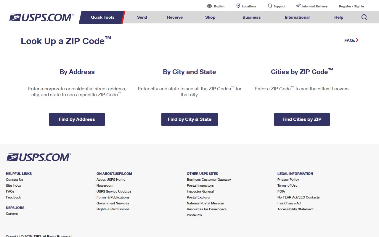
USPS verifies the address-to-ZIP match; APN, situs, mailing address, and jurisdiction still need separate review.
Redding Parcel Terms: ZIP, APN, Situs, and Mailing Address
Postal and property terms identify different objects. A postal code follows USPS routing; an APN follows county parcel records; situs is the physical taxable location; mailing is where the owner receives notices. A legal description identifies land through subdivision or tract, lot, block, section-township-range, or metes-and-bounds language, not the postal line.
The same Redding postal line can appear in two record roles. An owner mailing ZIP can be outside the parcel's situs ZIP, and a Redding mailing city can describe unincorporated Shasta County land. GIS can connect mailing fields to an APN without naming every occupant. The Shasta Assessor reports ownership status, mailing address, values, and exemptions as of the January 1 lien date, while the parcel map uses APN geometry. Use the Shasta County Assessor inquiry as one source, not a complete resident roll.
Redding ZIP Code Terms for Postal Research
These definitions keep a postal directory from carrying more weight than the source supports. Census geography should not replace postal verification.
- ZIP code
- A five-digit USPS routing label used to direct mail. It is a postal service area, not a city limit, tax boundary, parcel line, or resident roster.
- ZIP+4
- The five-digit ZIP followed by four extra digits that narrow delivery within the postal system. It adds routing detail but does not create a legal property boundary.
- PO-box ZIP
- A ZIP used for post-office-box delivery rather than a mapped residential area. Redding's 96049 is described as PO-box-oriented, so do not draw a neighborhood polygon from it.
- Unique ZIP
- A ZIP assigned for a unique or organizational postal use. Redding's 96099 is described this way and should not be read as a neighborhood label.
- Carrier route
- A delivery grouping used to organize mail service. A carrier route is not a parcel, city, or ZIP boundary.
- Census ZCTA
- A Census approximation of a postal service area. ZCTAs support ZIP-wide statistics, but they are not USPS ZIP boundaries and do not decide Redding jurisdiction.
Redding ZIP Code Boundaries and City Jurisdiction
Redding's postal city extends beyond the incorporated city in places. A “Redding, CA” mailing line can describe unincorporated Shasta County property, so ZIP geography cannot decide tax jurisdiction, service districts, or the records office. Assessor situs and the GIS parcel are the local checks. The Census QuickFacts Redding profile supplies city-level context, while ZIP-wide statistics should use Census ZCTAs with the warning that they approximate postal service areas.
96001 includes central, west, and southwest Redding and nearby western areas. 96002 reaches southeast Redding and Enterprise, where jurisdiction can vary near edges. 96003 covers north and northeast Redding and a broad surrounding area. These are starting map views; only a selected parcel, APN, and jurisdiction review can answer whether an address is inside the city.
The distinction protects historical research too. A directory may use a Redding postal line for an outlying community or rural route that had a different governmental channel. Bridge it with the legal description, subdivision and historical maps, deeds, and the current GIS parcel. This directory supplies the postal clue; the parcel record supplies the geography.
Redding Annexations and the Missing Postal Realignment Date
Redding's growth history explains why postal and government geography can look out of step. The 1872 townsite ran between North Street, now Eureka Way, and South, East, and West Streets. Redding incorporated in 1887. The city covered 3.65 square miles at first and 15.2 square miles by January 1, 1970. Much of Buckeye joined in 1969, changing the record context for that area.
In June 1976, annexation of the Cascade Community Services District added about 3,000 acres south. In December 1976, the former Enterprise PUD added about 3,200 acres east. Texas Springs and Oregon Gulch later added 1,692 acres west. An older directory, deed, or newspaper may describe Enterprise or Buckeye before the modern city record path is the obvious match.
The research located no official dated Redding-wide street-renumbering event and no dated ZIP realignment or renumbering history. Do not guess a split year. When an older address will not match a current directory, compare the legal description, lot or tract references, historical maps, deeds, and jurisdiction instead of assuming the person or property disappeared.
Redding ZIP Code Clues for Court and History
A postal clue can help choose the next public office after parcel review. The California Courts locator is the official starting point for finding a court by county. Research identifies the Superior Court of California, County of Shasta as serving Redding. A postal line alone does not prove case venue, party identity, or residence, so use the locator after GIS confirms address and jurisdiction.
When an address trail reaches a case, the Shasta court portal can provide a public case index, while remote images may be unavailable and courthouse or copy requests may be needed. Juvenile, adoption, sealed, and other confidential records remain outside a general ZIP search. For earlier residents, Redding Library's genealogy area, newspaper microfilm from 1852 to the present, directories, census schedules through 1950, deeds, obituaries, and probate can bridge an address, but none is a verified current ZIP-wide export.
For the court-jurisdiction branch, the California Courts Find My Court page is the source to check before treating a ZIP clue as a venue clue.
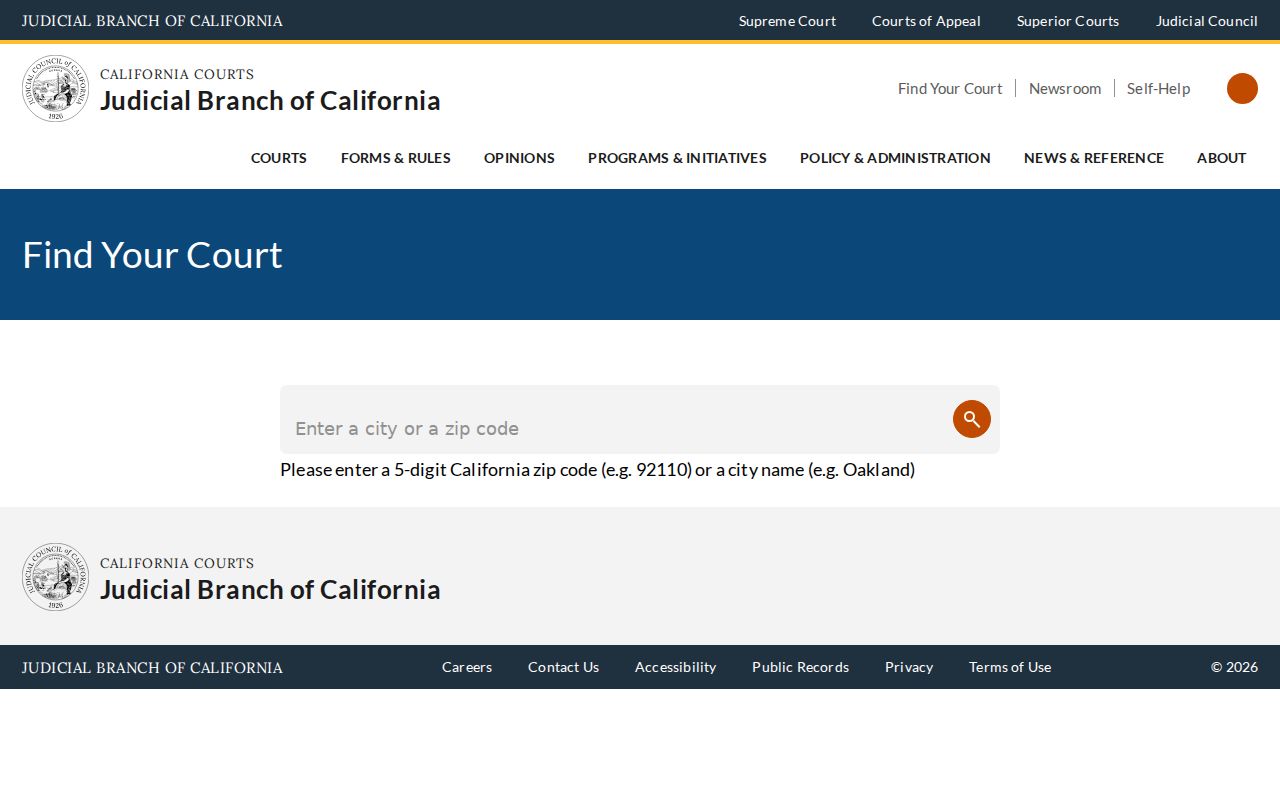
The locator confirms the court branch; USPS and GIS answer the separate postal and parcel questions.