
Redding Sources for Previous Residents
An address history starts with present parcel evidence, then follows records from different eras. The Shasta County Assessor-Recorder Kiosk routes to parcel inquiry, tax inquiry, Recorder search, Digital Reel, and GIS. The current roll is tied to the January 1 lien date. It gives APN, situs, owner status, mailing address, values, and exemptions, not a full household roll. APN is the tax and GIS parcel key.
| Source | Years It Covers | Where Held | What It Shows |
|---|---|---|---|
| Shasta Assessor current roll | Current annual roll, January 1 lien date | Assessor inquiry or counter | APN, owner status, situs, mailing, values, exemptions |
| Recorder Public Web Self Service | Exact online start not stated | Recorder portal, Digital Reel, counter | Parties, instruments, dates, book/page, deed trail |
| Shasta newspapers on microfilm | 1852-present | Redding Library | Sales, occupants, notices, obituaries, local events |
| Record Searchlight in NewsBank | 1991-03-10-current | Library resource | Searchable recent names, addresses, and notices |
| Federal population census | Through 1950 | NARA, FamilySearch, library databases | Household members, ages, birthplace, occupation, address |
| Redding city and reverse directories | Years and publisher not verified | Library catalog and reference desk | Occupants, addresses, names, household clues |
| Redding permit history | Online start not verified | City records and permit systems | Construction, change, applicant, contractor, dates |
| Sanborn Redding map editions | 1885, 1889, 1896, 1904, 1912 | Library of Congress | Footprints, uses, materials, street-number context |
Use deeds for ownership, directories and census for occupants, newspapers for life events, and maps or permits for the structure. Recorder coverage, directory years, and permit online starting points remain unverified. An absent result is a gap to resolve, not proof that nobody lived there.
Redding Deed Trail for Past Residents
Begin with the current APN, situs, owner status, and legal description from the Assessor Public Inquiry or GIS. The owner mailing address is where tax notices go; the situs is the taxable location. A match may support owner occupancy, but neither field lists every person at the address.
- Search the current owner as grantee in the Recorder index, then narrow by recording date and document type.
- Open the deed or obtain a copy. Match its APN, legal description, recording date, document number, and return or mailing address.
- Take the seller named as grantor and search that party as an earlier grantee.
- Repeat backward, matching the same lot, block, subdivision, or metes-and-bounds description rather than a name alone.
- When the online path stops, carry the last book/page or instrument citation to Digital Reel, the counter, or the deed books.
- Grantor
- The person or entity transferring an interest in land.
- Grantee
- The person or entity receiving that interest.
- Chain of title
- The linked sequence of recorded transfers from one owner to the next.
- Legal description
- The formal land identity, such as a lot and block or metes and bounds, that can remain stable when a street label changes.
- Criss-cross directory
- An address-first directory that lists a street and house number, then the occupant.
- Enumeration district
- The census area assigned to an enumerator, useful for locating a historical address but not a modern parcel boundary.
That chain identifies title, not everyone who lived there. Pair it with directories, census, newspapers, or an event record for occupant evidence.
Redding Recorder Limits on Past Residents
The Recorder Self Service landing page requires disclaimer acceptance and compares the index to a library card catalog. Try spelling variations, initials, punctuation, reversed names, and married names. The online starting year is not stated.
| Field label or mode | Type | Required | Options and format notes |
|---|---|---|---|
| Grantor/Grantee / Party Name | Text or name mode | One search key | Search surname variants and both party roles; names index parties, not street addresses. |
| Document Number | Text | Alternative | Direct retrieval when the instrument number is known. |
| Recording Date / date range | Date pair | Optional refinement | Narrow broad names; the online coverage start remains unstated. |
| Document Type | Dropdown or filter | Optional | Deeds, deeds of trust, reconveyances, liens, releases, maps, and other instruments. |
| Book/Page | Text pair or mode | Alternative | Useful when a later deed cites an older book and page. |
| Search / Reset | Buttons | None | Run the query or clear the fields. |
The offline fallback is specific: take the last usable citation to the Recorder Division at 1450 Court Street, ask about Digital Reel or the physical index and deed books, and confirm the current process at (530) 225-5671. The underlying instrument and legal description control when the index is incomplete, not the name hit alone.
Redding Maps and Permits for Past Homes
Library of Congress Sanborn maps preserve Redding editions from 1885, 1889, 1896, 1904, and 1912. They can show a building footprint, use, material, and the street number in that era. Sanborn sheets do not name occupants, so pair them with a deed, directory, census schedule, or newspaper.
Address continuity needs more than matching text. Redding's 1872 townsite used North, South, East, and West Streets; North later became Eureka Way. Buckeye joined much of the city in 1969, and 1976 annexations added areas south and east. Later growth added land west. An older directory may use a rural route or outlying community name for a parcel now carrying a Redding address.
Permits date construction, additions, fire rebuilding, changes of use, and contractor work, but not the applicant's residence. Redding moved building permits to EnerGov Self Service in 2026, including HVAC, water-heater, and roofing work. The online start for older permit history is not verified. Carr Fire damage can also leave a calamity reassessment, Revenue and Taxation Code §170 relief record, changed characteristics, and rebuilding permits that explain a break in the address trail.
Note: No official source reviewed dates a citywide Redding street-renumbering event, so legal description and parcel continuity matter more than a text match.
Redding Directories and Past Households
Owners are only one layer. A reverse or criss-cross directory reads by street and house number, while a city directory may list a name, spouse, occupation, address, and an owner or occupant mark. Redding's public pages do not verify a local publisher or year run, so search the catalog item by item and confirm holdings with the reference desk at (530) 245-7252. The Redding city directory page covers the collection shelf and reading method.
The Redding Library genealogy area has two computers, volunteers, bound works, periodicals, newspapers, microfilm, and FamilySearch affiliate access. The Boggs Local History Collection exceeds 2,000 items. Microfilm runs from 1852 to the present; NewsBank adds Record Searchlight text from 1991-03-10-current.
- Find the directory volume nearest the known address and copy the entry, street spelling, spouse notation, and abbreviation key exactly.
- Pair the entry with the 1940 or 1950 federal census schedule, checking household members, ages, birthplace, occupation, and street.
- Move one directory year at a time. Mark a change in address, spouse, initials, or household size instead of silently merging names.
- Use a newspaper, obituary, or probate record when a household disappears, then return to the parcel and legal description.
The 1950 census is currently the newest public population schedule under the 72-year release rule. Census evidence is a date-specific household snapshot, not proof that the same people occupied the parcel for the whole decade.
Redding Obituaries and Past Residents
Obituaries often close the gap left by a directory. The library form asks for requester name and contact, the subject or event, and a Shasta County death or event date; it allows a mailed copy and paper check. Newspaper microfilm from 1852-present and searchable Record Searchlight coverage from 1991-03-10-current can supply a move, death, sale, service, survivor, or former address clue.
Probate petitions, notices, and case dockets can connect a decedent to heirs, an estate, or a parcel. Search the Shasta Superior Court case-information portal first, then use the clerk or courthouse for documents. A docket is an index of filed events, not the full file. Sealed, juvenile, adoption, and other confidential material may be absent from remote access.
For a federal estate or land matter, PACER is the proper federal docket channel, not a local resident directory. Its case and party results can lead to docket entries and available PDFs, with account and fee rules and no access to sealed filings.
Review the PACER case-search source when a federal docket is the relevant record.
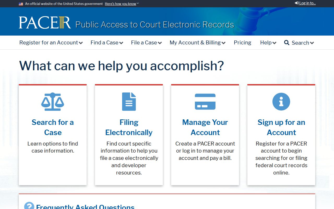
The PACER source image belongs with the federal-record distinction: a federal case may corroborate a date or party role, but it cannot by itself prove that a person lived at a Redding address.
A May 2025 water-intrusion closure temporarily affected parts of the new Redding courthouse, including filing and clerk areas. That was an access disruption, not evidence that records were destroyed, so confirm current court access before relying on an in-person visit.
Redding Archives for Previous Residents
Older Redding research may be filed under Shasta, Old Shasta, county, railroad, or mining headings. The California State Archives, Sutro Library, Shasta Historical Society, and the Redding Library are fallback points when a local index does not reach the needed year.
The State Archives gateway is especially useful for testing whether an older government or county series survives.
The California State Archives research gateway is the source for this archival route.
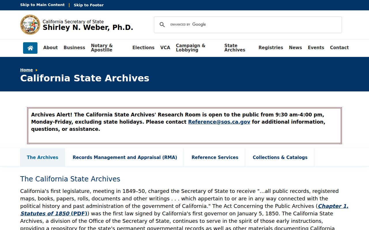
Its catalog does not replace the record itself. Keep the title, date, repository, and call information, then ask the holding office whether inspection, a copy, or staff research is available.
For a local incident or report that helps explain a property timeline, use the Redding Police Services Division Records Unit. It handles release, retention and destruction, subpoenas, warrants, statistics, arrest and crime reporting, and offender registration. Investigatory, victim, juvenile, and confidential material can be redacted or withheld.
The Redding Police Services Division Records Unit page identifies this local records channel.
The Police Services image points to a request channel, not a household list. For identifiable City records, Redding JustFOIA accepts, tracks, and delivers requests electronically. The California Public Records Act (CPRA) permits an identifiable request without a personal explanation, while duplication and special production costs can apply.
The Assessor schedule recorded in the research lists a $12 parcel-history report, a $15 physical-characteristics report, and $33 per half-hour for research or report preparation. Confirm current charges before ordering; paid county reports answer different questions from free GIS.
Lawful House History for Redding Residents
Previous residents research is strongest when it separates owner, occupant, mailing recipient, litigant, business agent, and heir. California My Voter Status is an authenticated self-lookup, not a public street roll. Safe at Home can place a substitute address into government and court records for eligible protected participants, and it does not erase information that was already public.
When an old deed, obituary, or copied record raises an identity-theft concern, use the federal identity-theft reporting and recovery resource for the response path.
The federal identity-theft recovery resource is the official response channel if a record raises that concern.
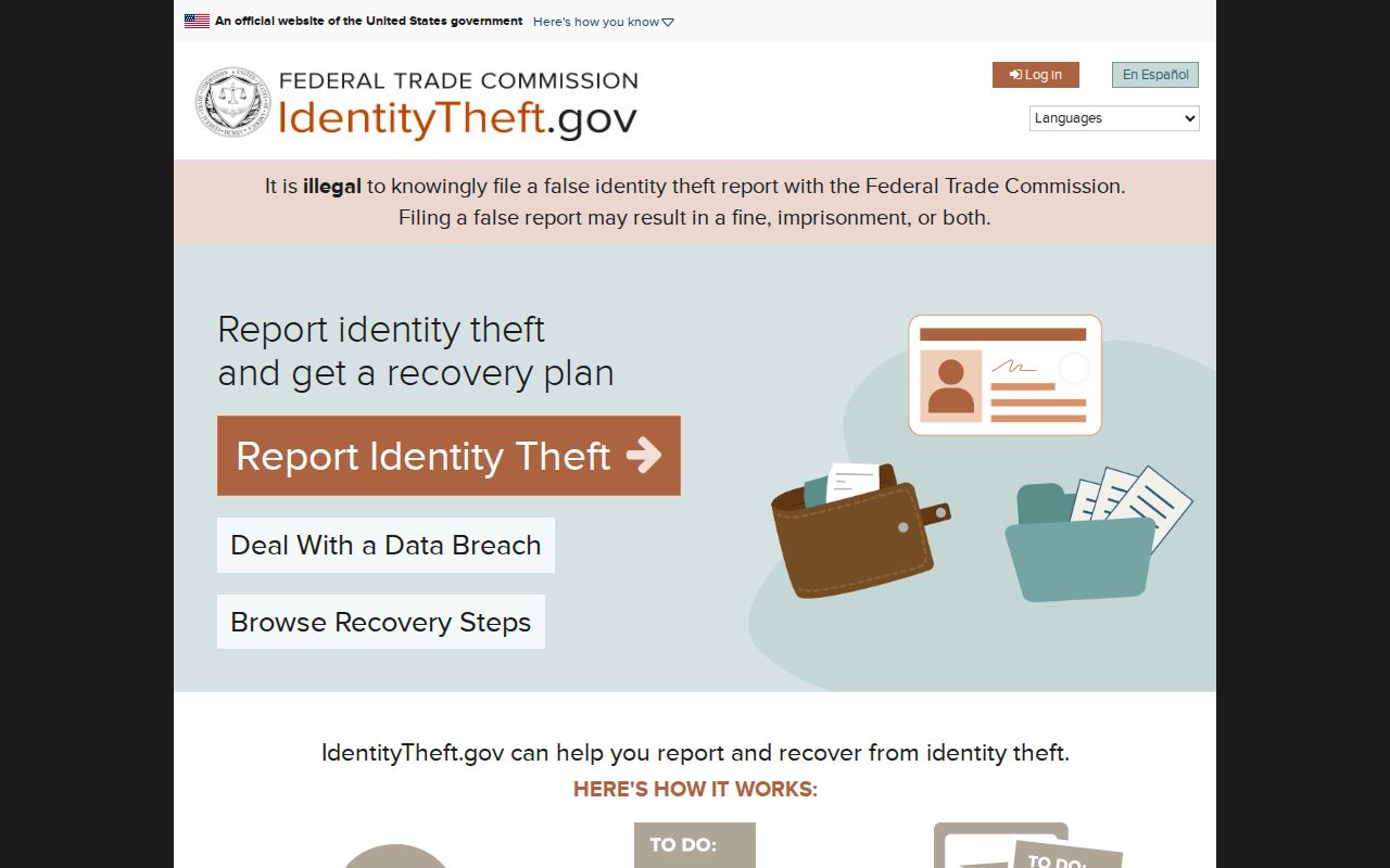
The image is a reminder to protect current people while studying past records: verify a custodian, avoid urgent payment demands, and do not copy sensitive data into a family-history file.
Lawful use. Redding previous residents research is appropriate for house history, genealogy, family connections, estate and heir work, and personal civic curiosity. Do not use a record trail to stalk, harass, impersonate, or threaten a living person, and respect protected-address measures.